Bear Boxes in South Lake near Bishop (SL)
Generated on 2 Aug 2022 - see revision history - please send updates to the webmaster
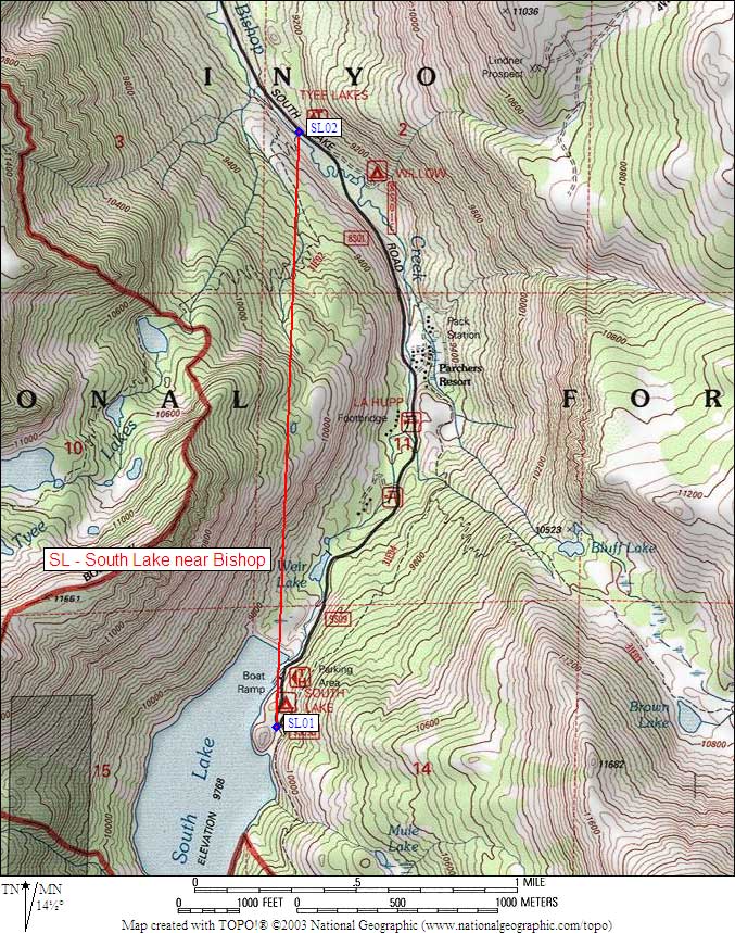
| 2 Bear Boxes in South Lake near Bishop - GPS route SOUTH LAKE | |||
|---|---|---|---|
| click on name for details and directions | elevation | waypoint | food locker type |
| South Lake Trailhead | 9800 | SL01 | 8 standard boxes |
| Tyee Lakes Trailhead | 9100 | SL02 | 2 standard boxes |
Useful Links: