Bear Boxes in Rock Creek South (RS)
Generated on 2 Aug 2022 - see revision history - please send updates to the webmaster
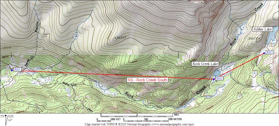
| 3 Bear Boxes in Rock Creek South - GPS route ROCK CREEK SOUTH | |||
|---|---|---|---|
| click on name for details and directions | elevation | waypoint | food locker type |
| Lower Rock Ck / Pacific Crest Tr | 9600 | RS01 | a standard box |
| Rock Creek Lake | 10400 | RS02 | a standard box |
| Lower Soldier Lake | 10800 | RS03 | a standard box |
Useful Links: