Bear Boxes in Kern Canyon (KC)
Generated on 2 Aug 2022 - see revision history - please send updates to the webmaster
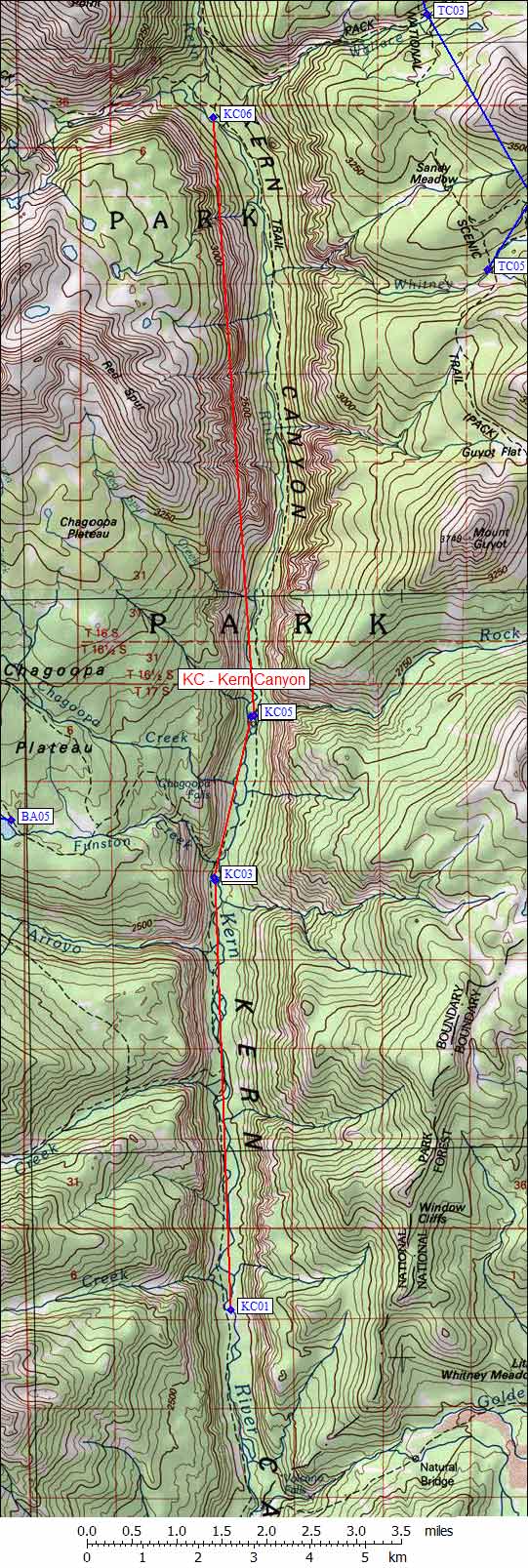
| 6 Bear Boxes in Kern Canyon - GPS route KERN CANYON | |||
|---|---|---|---|
| click on name for details and directions | elevation | waypoint | food locker type |
| Lower Funston Meadow | 6500 | KC01 | 2 large boxes |
| Upper Funston Meadow #1 | 6700 | KC02 | a standard box |
| Upper Funston Meadow #2 | 6700 | KC03 | a standard box |
| Kern Hot Springs west of trail | 6900 | KC04 | a standard box |
| Kern Hot Springs east of trail | 6900 | KC05 | a standard box |
| Junction Meadow Kern River | 8100 | KC06 | a standard box |
Useful Links: