Bear Box at Reds Meadow Campground (AA03)
Generated on 2 Aug 2022 - see revision history - please send updates to the webmaster
Detail Map of waypoint AA03
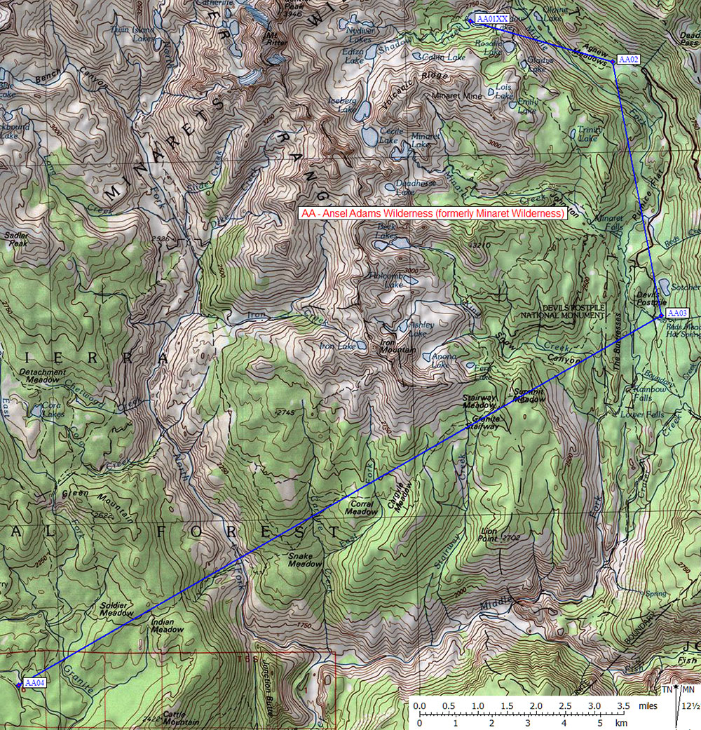
in Ansel Adams Wilderness (formerly Minaret Wilderness):
(scroll down for directions, waypoints, and area map)
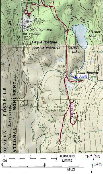
  (lat,lon) = (37.6193200, -119.0745500) in decimal degrees, NAD83.
  (zone,east,north) = (11N, 316994.0, 4165404.0) in decimal meters, NAD27.
Map exported from TOPO! software, used with permission.
Useful Links: