On Apr.1 I drove right up to the "brown gate with no signs" but figured I was in the wrong spot. There wasn't a sign or even a turnout. Nor were there any vehicles parked. So I turned around and drove all the way back to Ridgecrest. That was the first April Fool's error. I was at the "trailhead" and didn't even realize it. (I can't believe BLM has left this trailhead unmarked for how many years now?) Ugh!
The infamous brown gate at waypoint LNGRCK
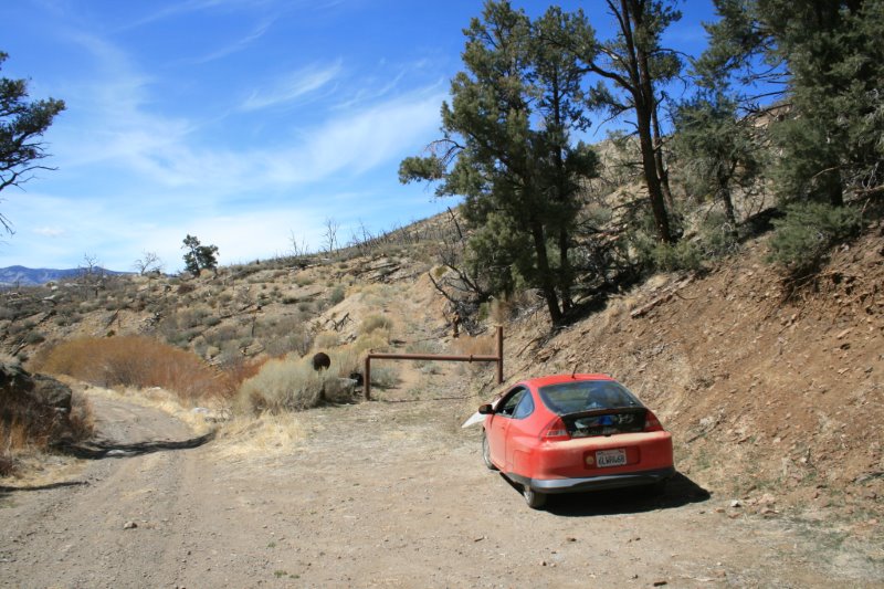
The following day I returned to the exact same spot, parked, and proceeded somewhat cautiously down the dirt road behind the brown gate. It seemed to be heading in the right direction. I felt a little better as it led me down to the south fork of the Kern River. Rockhouse Peak was in direct view to the west and I was heading straight towards it. Good enough.
I arrived and set up camp in the beautiful south fork Kern River valley in late afternoon about 50 ft. from the east river bank. I even allowed myself the rare luxury of a campire later that evening. What a stunning area, certainly a highlight of the entire trip. Very popular with fishermen it appears. (Perhaps the lack of signs is intential?)
river crossing, south fork Kern River
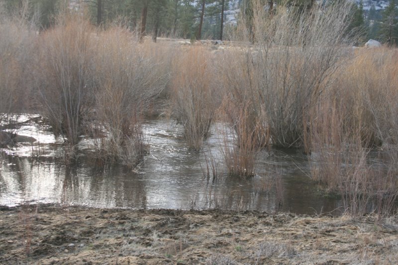
After dropping my pack, I scouted the east bank looking for a place to cross and eventually found a wide, shallow, sand/pebblebar where the dirt road seemed to carry through and across. Thanks to the unusually dry winter, I waded across the next morning only getting wet to my knees. The water was cool, but not icy cold.
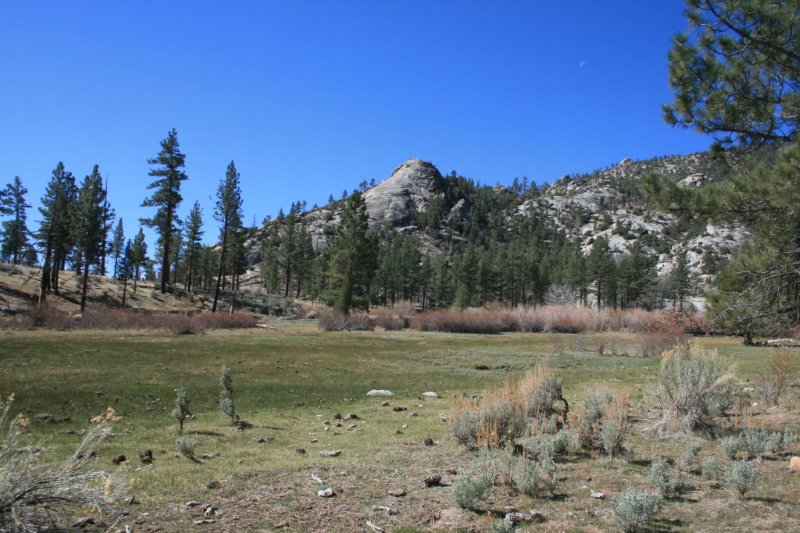
From this point, the dirt road led on to an old rancher's dwelling in Rockhouse Meadow, and this is where the dirt road/trail ended. I looked all over for the continuation of the Manter trail past this point with no luck, so I headed due west up the canyon. I eventually crested out on a broad saddle at about 7300 ft., about a mile south of Rockhouse Pk. My water supply was low so I continued xc down the opposite side to Manter Creek, filled the bottles, then proceeded back up to the broad saddle and slept under the stars there. Still no signs of a trail.
Rockhouse Meadow
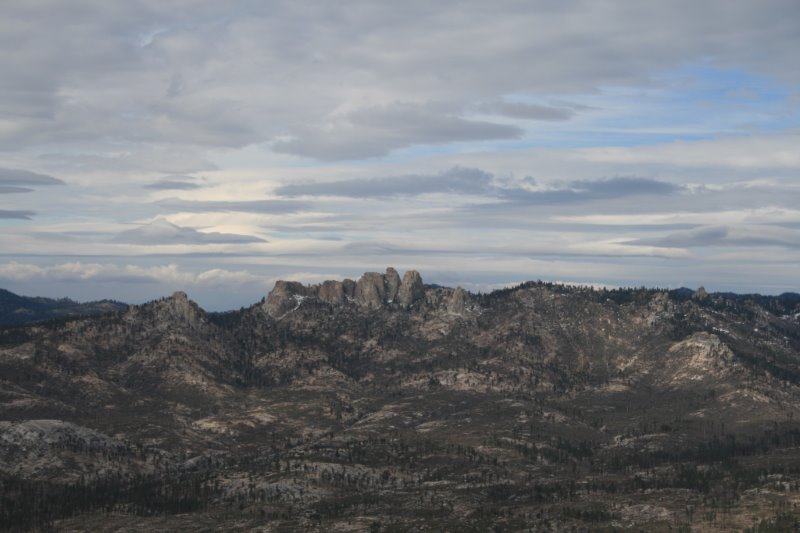
The next morning I headed north about 1 mile or so to Rockhouse Pk. The final summit block was fun, maybe low class 3 instead of just 2? There is a little exposure on the last leg but no shortage of handholds or footholds. From the top, the view was superb although the weather was cloudy, cool, and windy. I stayed on the summit about 30 minutes until the cold wind drove me off, then traced my steps back to my camp at the pass.
summit view looking west towards Church Dome
At this point, I decided to not go any further west due to the vague trail conditions, total lack of signs, my lack of knowledge of the area, and the absence of having a 7.5 min. topo. (big mistake, not recommended). It was time to head back to the car.
From the pass, I managed to locate the faint, intermittently ducked trail going back down to Rockhouse Meadow. It follows along the south side of the dry creek bed staying roughly 25-50 ft. above the creek bed itself and fades out near the bottom, where the canyon widens out. Going up, I had followed the creek bed itself or the adjacent right slope because the granite slabs looked better than the steep, loose dirt on the left side. But that's where the trail actually is. (April fools day was becoming a multi-day affair, I thought to myself.)
From Rockhouse Meadow, it was a straight shot back to the car. I arrived there just as the last moments of twilight were turning to nightfall.
Cautionary note- The "official" Domelands map, forest service version, shows this trail highlighted in red with a numbered designation. It is listed as a "maintained" trail. Between Rockhouse Meadow and Manter Creek this path is any but that. It is obscure, faint, and rarely used. If you have a good sense of smell, though, it will get you through the narrow part of the canyon above Rockhouse Meadow to the pass without interruption. Going from east to west, look for it on the left/south, side, where the canyon begin to narrow.