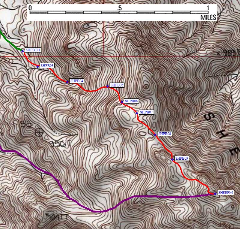
As at Palen, I didn't see any prominent pinnacle as described by the DPS Guide, so I just walked up the ramp I parked on (at waypoint SHPBTH, about a tenth of a mile beyond where the Guide says to park). At the end of the easy walking, I angled right into the obvious drainage. This route starts with a bang: steep, large boulders, cat's claw! It quickly "moderates" to rounded slabs and huge boulders which make for slow going.
Route B approach
At around 3k (waypoint SHPB04) I climbed out on right side. Below this the gully has a nice sandy bottom while above this there is better footing on the right side. Ignoring the DPS instructions, which seemed to want me too far left (north), I just climbed what seemed to be the best slope. Around 3.6k (waypoint SHPB05) terrain suddenly got much easier, with dirt to walk on instead of huge boulders to scramble around and over. Staying south, at the base of the cliffs, minimizes the amount of boulder climbing required.
I wound my way through gentle ribs (SHPB06-8) instead of going out of my way just to following the ridge south over bumps (as the DPS Guide suggests). I crossed the ridgeline at SHPB08, sidehilling on the northeast side around the next bump. Crossing a shoulder at about 4.3k (SHPB09) I took note of an unusual stand of cholla that would help find the way down, then walked downhill in a sandy wash instead of fighting the rocks on the ridge.
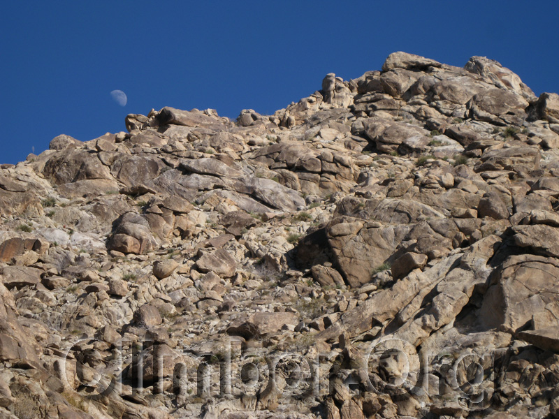
Rocks on the ridge near the summit
The best place to leave this wash seems to be about 100' before huge boulders block your way. Do not wind through the boulders into the bowl on the other side, instead angle up to the left (east) ALMOST to the ridgeline. Note that the bump you see in front of you is NOT the peak. Go left of the false summit but stay in the depression (bowl), and work your way south so you come up on the right side of the peak. Turn left to scramble up class 3 slabs to the summit. I think that's the reverse of what I did on the way down, on the way up I was like a mouse trying to find the cheese in a maze. I remember the gigantic boulders and fissures of the ridgeline made that impossible, and I'm certain I went too far down into the sandy bowl. Let me know if you can improve these directions, but I'm guessing no two people will find exactly the same maze solution.
I got to top at 350pm, wondering how bad it was going to be finding my way down by headlamp. Going down, however, worked smoothly and I was back to the trailhead at 530pm, no headlamp required. I drove east and spent the night near the Spectre Point trailhead...
Map of my climb: (see the trailhead page for waypoints)