This is February's edition of Don't Take Pat's Route. After contemplating for a week about what troubles I could envolve myself in during the upcomming weekend I picked up some maps for some extreme southern Sierra destinations like Sorrell Peak and Cross Mountain. After finding out that the impending storm headed elsewhere I decided that I should climb a "real" mountain, Crag Peak.
I left Reedley around 5 am and made Kennedy Meadows by 8:45, this time spotting the Chimney Peak Fire Station sign before I passed it. Canebrake road wasn't in great shape beyond the campground but the views more than made up for the bumpy ride.
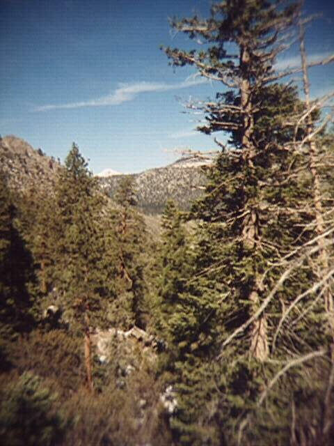
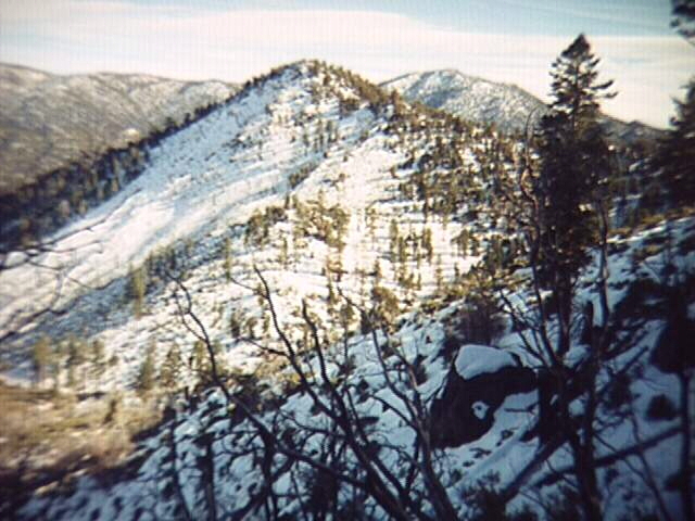
I was on the PCT at nine and around 9:30 I crossed the well built bridge over the raging South Fork Kern River and then headed northwest across a somewhat forested sage meadow aiming for the saddle between peak 7945 and peak 9395. The brush was absolutely horrendous, I'd never seen as many Live Oaks in my life, and had never even seen one at that elevation. Needless to say it took a while to get through. After a tough climb up the ridge I found my self standing atop a giant outcrop with an impressive view of the ridge I was trying to climb! After struggling to find exactly where I was I headed north to the summit of peak 7945. From here I could see the almost bare summits of Deer Mountain and Olancha Peak. It was now past 11 and I was nowhere near my destination so I hurriedly had lunch and then pressed on.
I then followed the ridge west and up the forested main ridge. Here the snow became really deep and my extra large gaiters weren't extra large enough, for every step I took the snow pushed them up, sometimes above the rim of my boots. After losing an hour trying to step carefully I discovered the root of problem, which a pair of extra pack straps quickly solved.
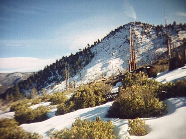
By now the snow was completely melted and with every step I sunk knee deep into the snow. I finally made it up something, but not Crag peak. To the north were at least two higher crags, possibly more. It was now 1:30 and there was no way I would make any further progress without snow shoes. It was actually getting warm so I headed downslope. The slope was noticably steep and the trip down to Clover Meadow took well over an hour and a half.
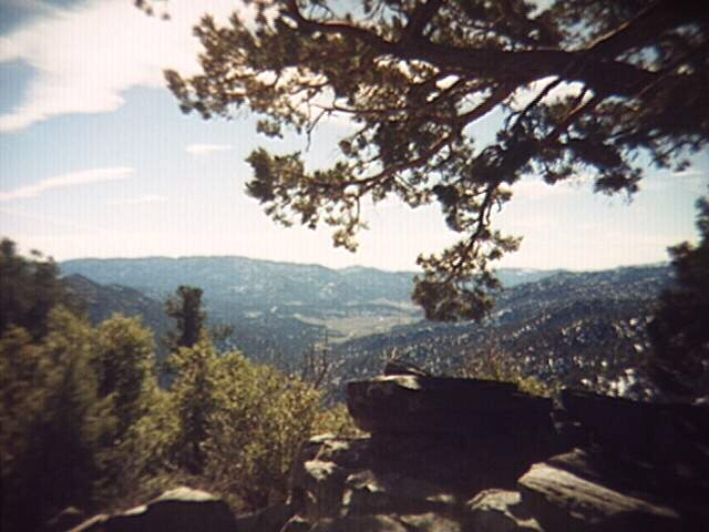
Hiking through the meadow was far more enjoyable than navigating the treacherous slopes of Crag and the wide open views provided much needed relief from the intensive concentration of past hours. When I reached Crag Creek I could see that the ridge that meets up with the crag named on the USFS map was not only snow free, but practically vegetation free as well, contrary to what was shown on the map. After I finished cursing I convinced my self that two peaks were better than one, even if they weren't named, and headed south along the trail.
With all the hard stuff under my belt I put on the cruise control and headed towards the river. While I was thinking about things like where to get gas, homework assignments, why my car's cooling system works too well, and of course how much I despise UC Davis, I made excellent time over the small nameless saddle east of peak 7945. As I dreamt of doing awful things to whomever concocted the quarter system, I missed a turn in a faint spot in the trail and wandered south on a use trail through my old friend the sage meadow.
At 3:45 I was standing on the west bank of the river...looking up at the west face of a small peak. It then hit me that I missed the bridge, and after the panic eased I got a good idea of where I was. Half an hour and over a mile later, I spoted a narrow spot in the river that would be an ideal spot for a bridge. The bridge turned out to be a fallen tree. Again I headed north and a few minutes later found the real bridge. I was back to the trailhead at 5, having completed another rewarding excursion in the High Sierra.