Bear Box at Mono Pass Trailhead (YE13)

Generated on 2 Aug 2022 - see revision history - please send updates to the webmaster

home Go to the main Bear Box Page or a clickable Bear Boxes Map or a complete list of 150 Bear Boxes
west Prev box is YE12: Dog Lake Trail Backpacker Lot.
north Next box is YE14: Saddlebag Lk TH near Group Camp.
info GPS Waypoints in Region YE: download GPX file.

Detail Map of waypoint YE13 in Yosemite Park East:
(scroll down for directions, waypoints, and area map)

  1. YE13 is 6 large boxes, at about 9700 feet, in the GPS route YOSEMITE EAST.

  2. Directions from Steve Eckert, with GPS waypoint, June 2000:
    Six large boxes south of Hwy 120 in Dana Meadows, at the restroom and trailhead for Mono Pass.

  3. YE13 coordinates: (see GPX waypoint download links above)
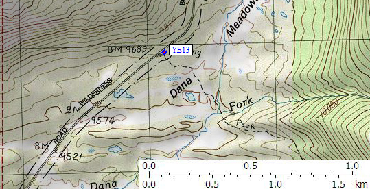
      (lat,lon) = (37.8909900, -119.2624400) in decimal degrees, NAD83.
      (zone,east,north) = (11S, 301136.0, 4195934.0) in decimal meters, NAD27.

  4. Scroll down for a regional map of the entire Yosemite Park East region.


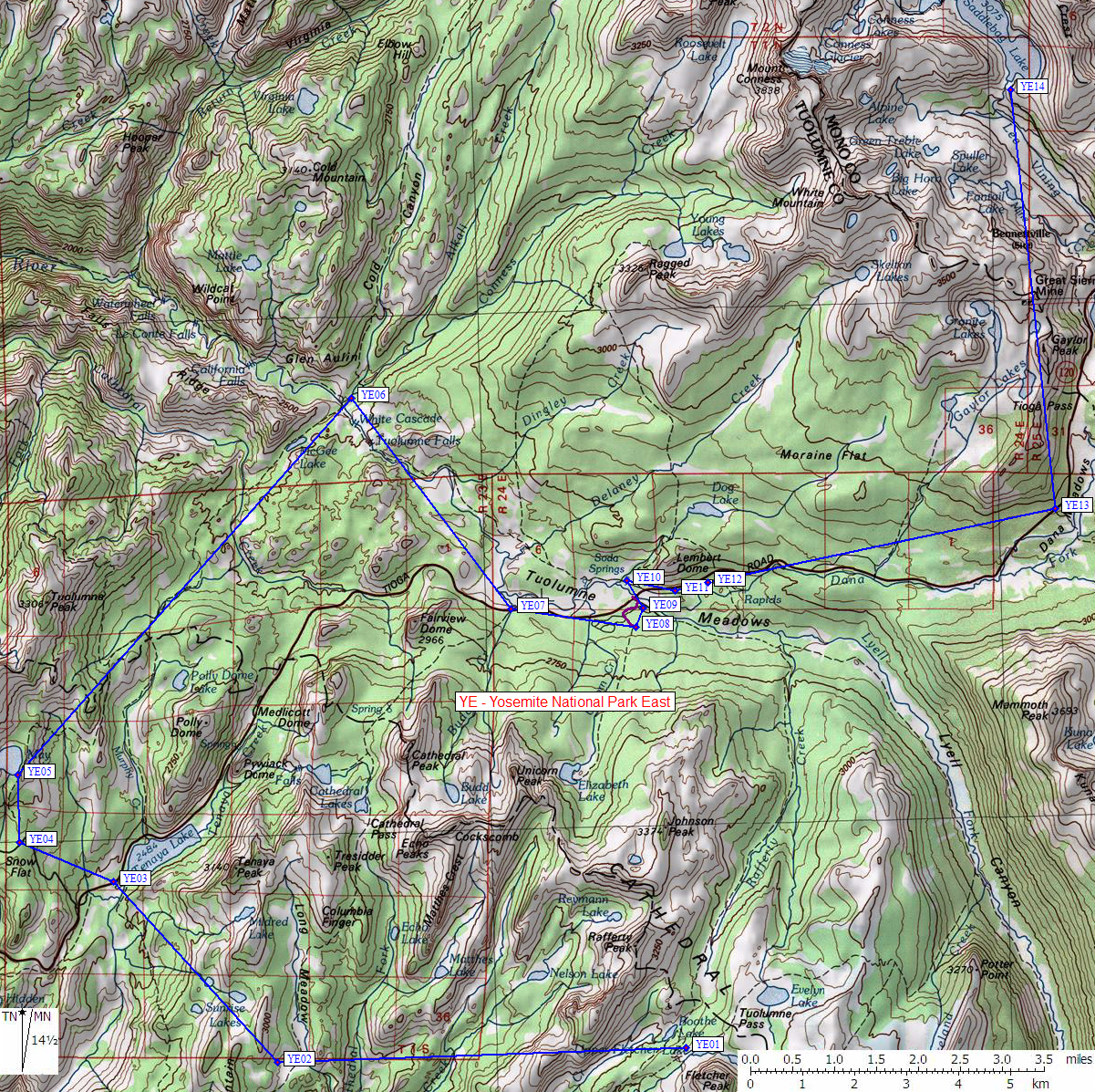
Map exported from TOPO! software, used with permission.


Useful Links: