Bear Box at Onion Springs Trailhead (LE03)

Generated on 2 Aug 2022 - see revision history - please send updates to the webmaster

home Go to the main Bear Box Page or a clickable Bear Boxes Map or a complete list of 150 Bear Boxes
east Prev box is LE02: Edison Ferry Pickup.
east First box is LE01: Bear Creek Trailhead.
info GPS Waypoints in Region LE: download GPX file.

Detail Map of waypoint LE03 in Lake Edison:
(scroll down for directions, waypoints, and area map)
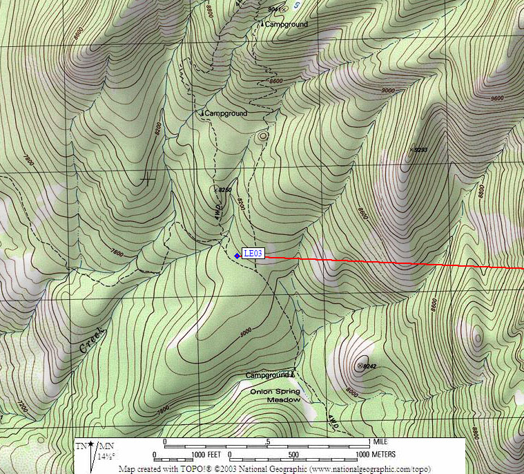
  1. LE03 is four standard boxes, at about 8081 feet, in the GPS route LAKE EDISON.

  2. Directions from Rob Brandt, with GPS waypoint, Aug 2020:
    Four boxes at the Onion Springs Trailhead, High Sierra District, Sierra National Forest (west of Lake Edison). You can only see this OHV Route/Trailhead on the USGS or Forest Services map.

  3. LE03 coordinates: (see GPX waypoint download links above)
      (lat,lon) = (37.4111400, -119.0763000) in decimal degrees, NAD83.
      (zone,east,north) = (11N, 316329.0, 4142307.0) in decimal meters, NAD27.
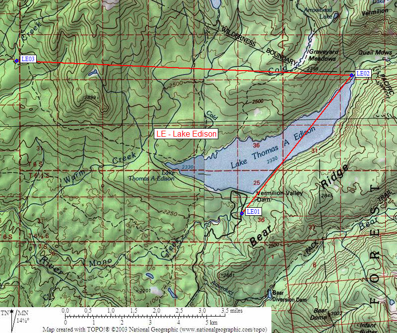
  4. Scroll down for a regional map of the entire Lake Edison region.


Map exported from TOPO! software, used with permission.


Useful Links: