Bear Box at South Fork Ranger Station (HP11)
Generated on 20 Oct 2025 - see revision history - please send updates to the webmaster
Detail Map of waypoint HP11
in Hockett Plateau:
(scroll down for directions, waypoints, and area map)
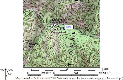
- HP11 is 2 large boxes, at about 3600 feet,
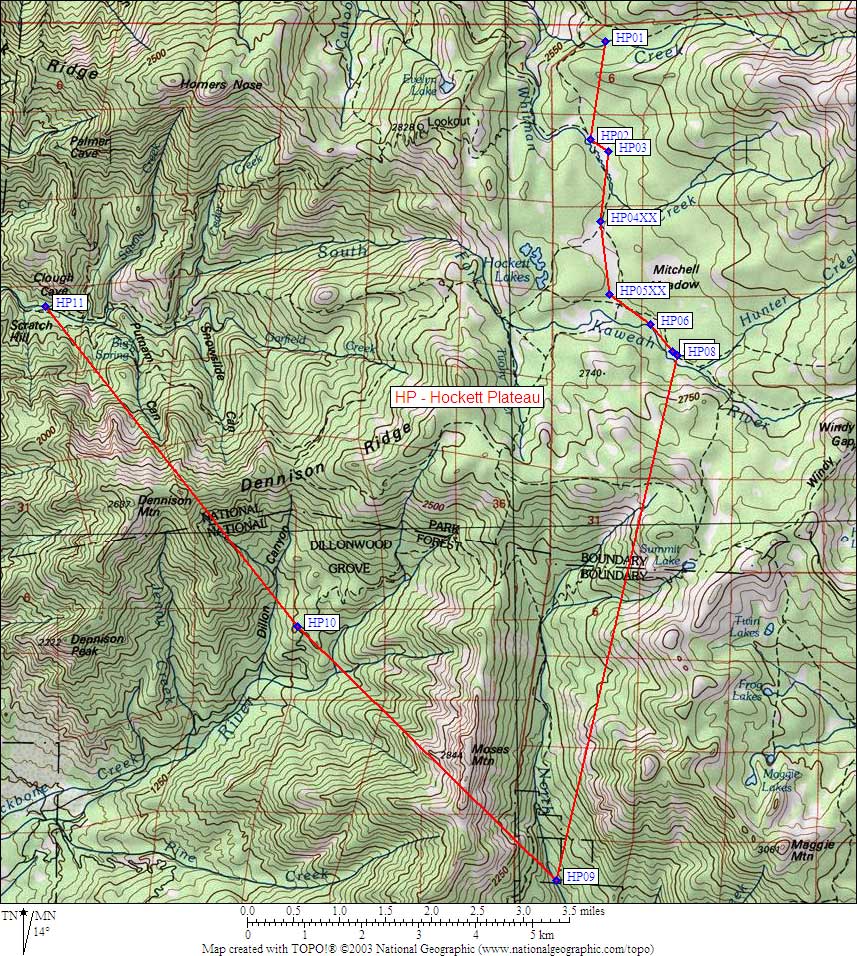
in the GPS route HOCKETT PLATEAU.
- Directions from Steve Eckert, with GPS waypoint, Oct 2004:
The South Fork Ranger Station and Campground is just before
the Ladybug and Garfield-Hockett trailheads, which provide access
to Homer's Nose and Dennison. One large box is near the campground
toilet, another large box is in the trailhead parking area at the
end of the road.
- HP11 coordinates: (see GPX waypoint download links above)
  (lat,lon) = (36.3497600, -118.7636400) in decimal degrees, NAD83.
  (zone,east,north) = (11S, 341825.0, 4023990.0) in decimal meters, NAD27.
- Scroll down for a regional map of the entire Hockett Plateau region.
Map exported from TOPO! software, used with permission.
Useful Links: