We took the 215 beltway in las vegas and exited on charleston Blvd,route 159. drove west past the entrance to red Rock Rec Area scenic loop 2.6 miles. There are a couple places to park along the road there on the right. 36.10406 115.44989
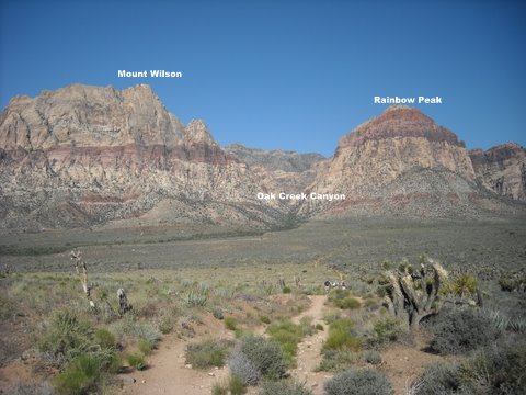
Pic # 1 is the view from the trailhead showing the Peak and Oak Creek canyon.
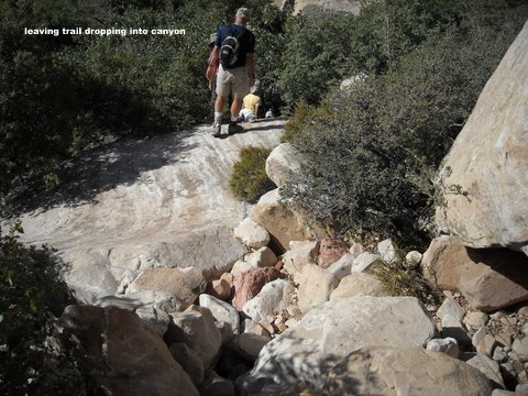
Hiked on trail for almost 2 miles before dropping into the drainage.
36.10385 115. 48327 #5
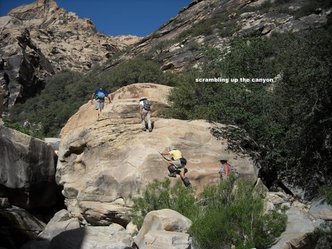
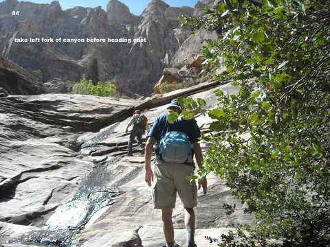
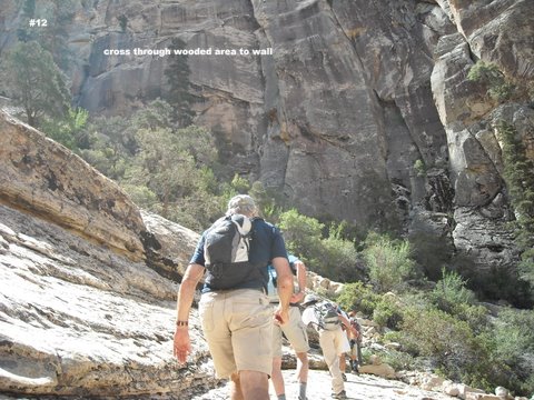
Scrambled up the canyon #6 to the left fork #12 36.09797 115.49615
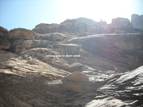
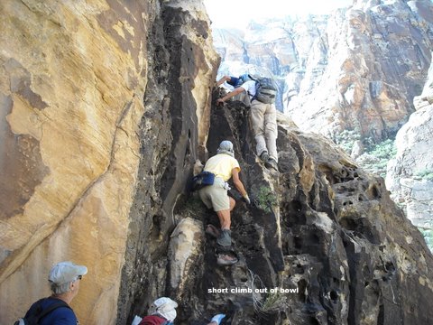
# 14 Headed east crossing the waterfall area to a short climb out of the bowl #16.
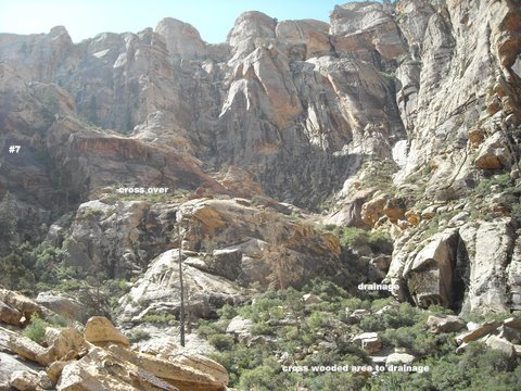
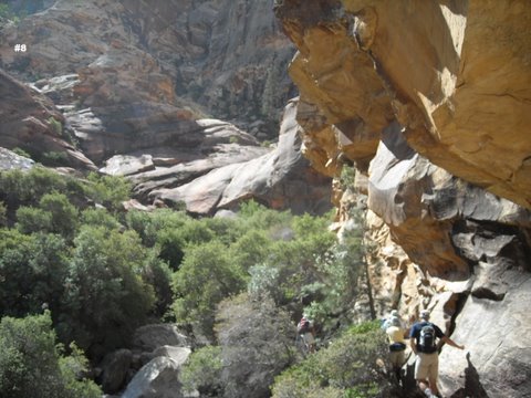
We crossed over the brushy area # 17 to the drainage to avoid some 4th class climbing. There was a trail cut through the brush.
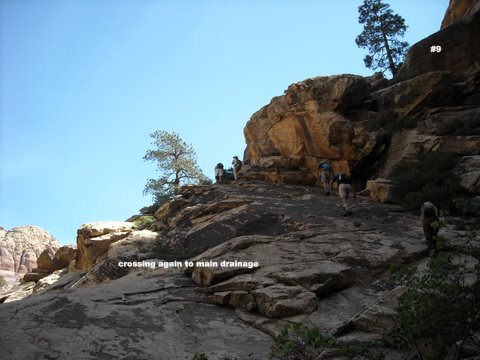
As we proceded up the drainage #21 we keep going left .
#25 continued up the using the 2 trees as the landmark to get back into the main drainage.
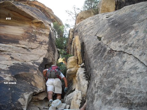
#26 Got to the 1st crack probably 3 ft wide. 36.08985 115. 48923.
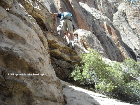
Near the top of the slot there is a rope in place. just above the rope we turned right # 28.
crossed the open area and approx. 50 ft. up there was a trail going through the brush getting to the wall #29.
Staying along the wall we went through a couple more slots then coming to a large open area with the summit in view. #34.
We started climbing there ,traversed and climbed some more.
#37.
once we got on the plateau the summit was a walk over to the east. #42.
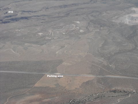
#45 is the view from the summit . hwy 159 and parking area.