When Joe White and I started planning this trip, we envisioned a week in the Sierra that would have a little something for everyone who joined us: Challenging climbing, a chance to hike a section of the John Muir Trail, (JMT), and a visit to one of the most scenic areas in the Sierra. After a week that started with rain, hail, lightning, and fog only to ease up and allow enjoyable climbing on some great routes, combined with good companionship, big horn sheep sightings, backpacking through a section of the JMT, and a trailhead encounter with the biker in the pink miniskirt, we were not disappointed.
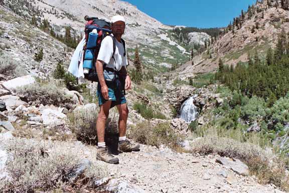
Friday August 20th. Joe and I meet for lunch at the Subway in Independence and then head over to the Wilder House to meet Skip Wilder who will shuttle us from the Taboose Pass trailhead (where we leave a car) to the Onion Valley trailhead where our trip would start. Skip proved to be quite a colorful character and kept us entertained during the drive with stories about his life growing up and living in the Owens Valley. Those looking for a Sierra shuttle should consider these folks (866) 870-2119 they are reliable and reasonably priced
As soon as we get to the trailhead campground and get our tents set up, it starts raining. During one of the breaks in the rain, Joe and I take a walk around the campground and have one of those "Now there's something you don't see everyday" encounters: 2 bikers (the motorcycle type) are taking refuge from the rain under a large tree. One of them (the bikerette) is adorned in a hot pink mini skirt with a matching top that reveals way too much skin. Not sure if this was some sort of an omen for our trip (good? bad??), or just a poor choice in motorcycling apparel, we move deliberately back to our tents. Later that afternoon and into the evening, Asher Waxman, Gerhard Japp, and Jack Wickel arrive and join us in our soggy campsite where we cook dinner and make sure that no beer is left behind.
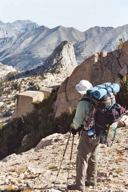
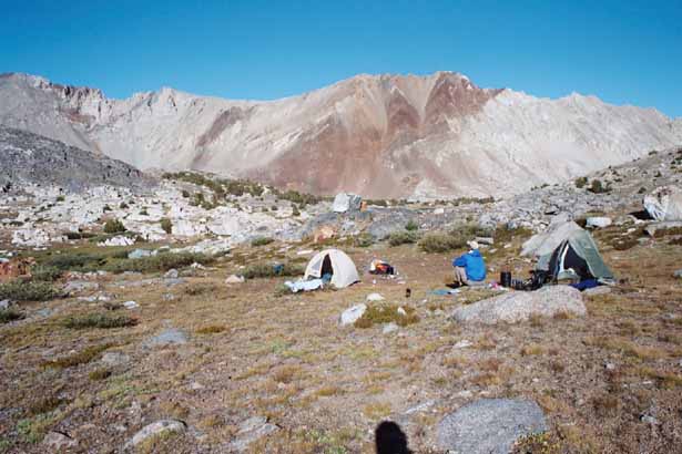
Saturday August 21st. Everybody is up, packed and ready to start moving by 7:45 a.m. Before leaving, we meet Brian Smith, the 6th member of our group. He had arrived at the trailhead at 5:00 a.m. and decides that he needs a little more sleep before hiking in and meeting up with us in camp later that evening. We have a pleasant and unhurried hike into our camp which we strategically choose near a small tarn just south of Glen Pass. Our thinking is that it made no sense to hump all the way over Glen Pass on day 1 since the next day's hiking and climbing objectives were moderate (3-4 mile backpack and an afternoon attempt of Fin Dome). As we are setting up our tents, R.J. Secor, the 7th and final member of our group, wanders into camp. He has come in from the west side and spent some time climbing around Charlotte Lake. Once our tents are up, it rains like hell for about 2 hours. Mixed in with the rain is plenty of hail and lightning. Things finally calm down around 6:00 p.m. and we are able to emerge from our shelters and cook dinner. By the time we all get to bed, Brian has not showed up we figure that he is camped nearby or still sleeping at the trailhead.
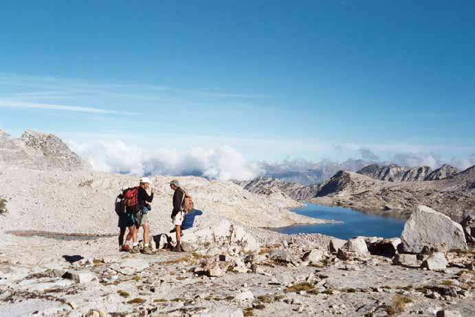
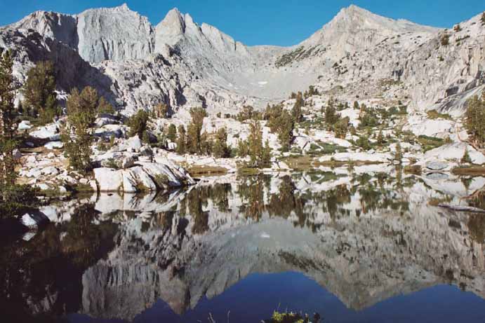
Sunday August 22nd. We are all moving at 7:00 a.m. and reach Glen Pass at 8:00 a.m. where we get our first view of the beautiful 60 Lakes and Rae Lakes basins. As we make our way down from the pass and towards Rae Col we run into Brian who is camped at one of the lakes just north of the pass (we had given up on him at Glen Pass). He had passed through our previous night's camp during the storm and none of us (who were all warm and snug in our tents) could hear his shouts as he passed through. He figured that we had pushed ahead and had gone over the pass in hopes of finding us there. Now with all trip participants aboard, we head over Rae Col and down to our camp for the next 3 nights - a small lake SW of Fin Dome.
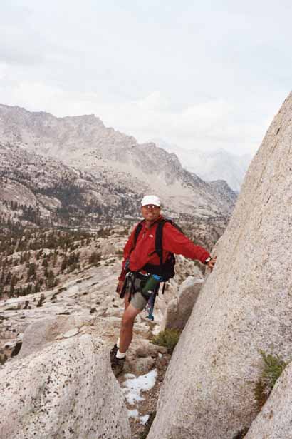
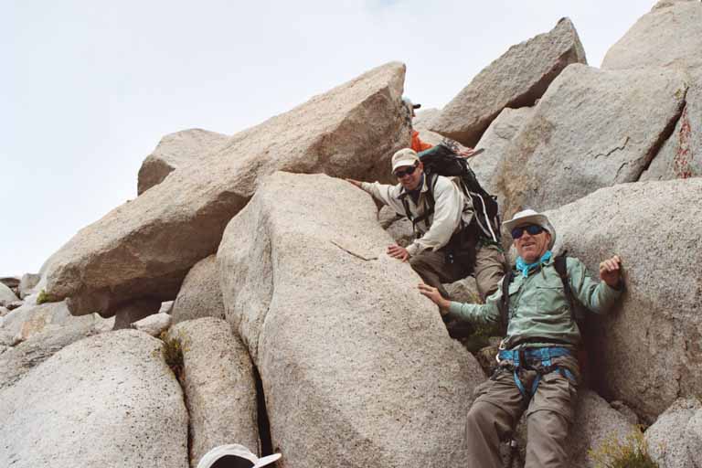
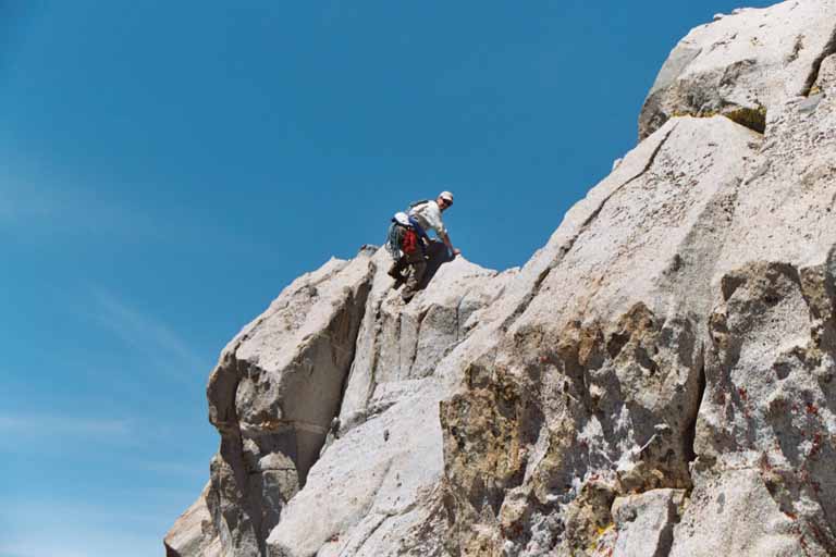
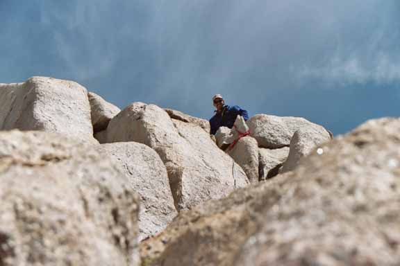
By noon we have established camp and are ready for an attempt of Fin Dome. We are hoping to find the elusive class 3 route, but bring along a rope (100' of 9mm) and some slings just in case. We start up a chute on the SW side of the dome and then get onto a ramp that leads up and to the left. This ramp get a bit slippery at times because of some hail left over from yesterday's storm so we are forced to grovel around in some short pine trees for more secure footing. When this ramp peters out, we climb up onto a ledge which takes us up and to the right. When this ledge ends, we climb up to higher ledges and easier terrain that takes us all to the top. Because of the gathering clouds, and previous days thunderstorms, we limit our time on the summit and make it back to camp by around 4:00 p.m.
I don't know if there is a definitive class 3 route for this climb. We saw different variations for several sections of our route and even ran into a party descending via a different route than we took. We did set up a quick belay for one short, strenuous section and used 2 rappels to avoid down climbing some slippery ledges. We all agreed that this was a challenging, but worthy, climb.
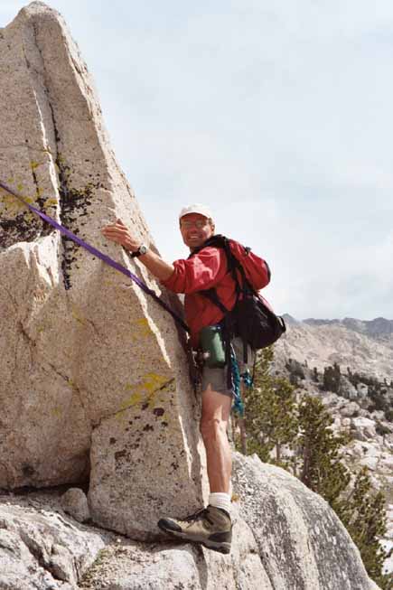
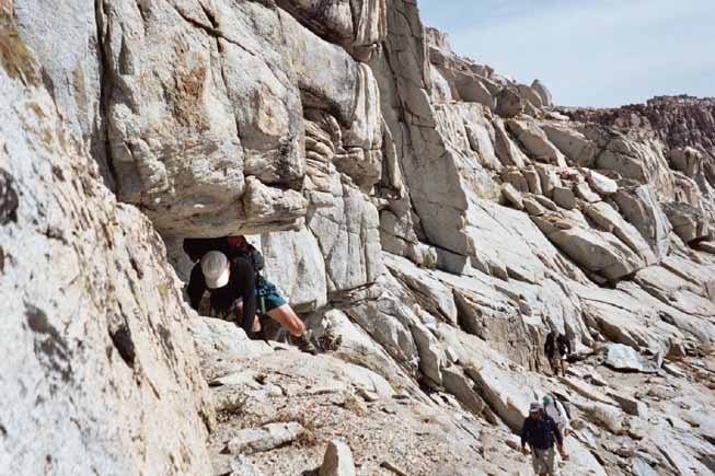
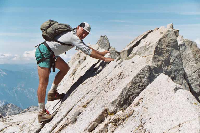
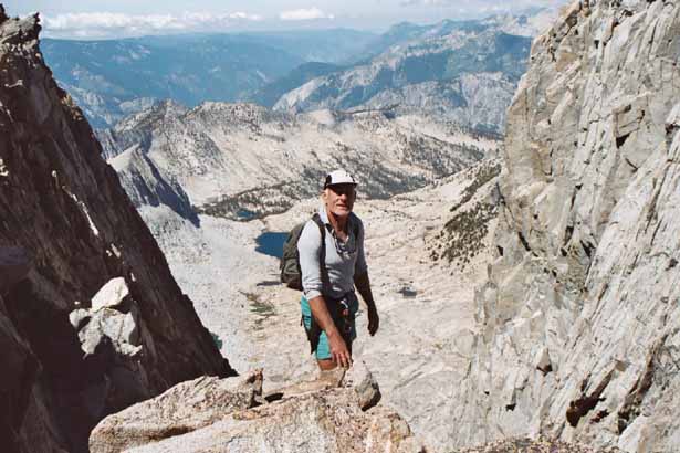
Monday, August 23rd. We get a 6:30 a.m. start for our attempt of Mt. Clarence King. Even though we didn't get any rain yesterday, the constant flow of clouds from the northwest causes us to keep an eye on the weather all day. From our camp we follow the trail down into the basin for about 1 mile to a location just past Point 3361 and where Clarence King comes back into view. From here, we leave the trail and work our way up to the large lake that is east of Clarence King (roughly following the drainage). We now must find a way to get from this lake up through the cliffs that lead to the south slope of the peak (due west of the lake). Fortunately, everyone in our group (except Joe and I) had been here before and knew the way. Near the top right side (climbers right) of the cliff, there is a ramp that leads slightly up and to the left. A large overhanging boulder near the start (which we had to crawl under) will help to identify the correct ramp. Once we are on the south slope it is a straightforward traverse and climb to a point ~150 ft below the summit this is where the real climbing begins.
After dropping our packs and putting on harnesses, we climb one pitch (70-80' ft) of fun 4th class rock (using only slings for protection). This gets us all up to the base of the summit block. To protect the very exposed moves onto the summit, we set up a somewhat unconventional, but secure, top rope over the summit block by throwing the rope over the summit block and then belaying the climber from a secure, anchored position on the other side of the summit block. After making the final move onto the summit we all agree that Bolton C. Brown, who made the first ascent in 1896 without protection, had big huevos.
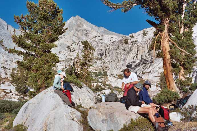
A couple of rappels and some down climbing and we are back to our packs at 2:30 p.m. An uneventful, but scenic, slog gets us back into camp at 5:45 p.m. As we are enjoying dinner in camp that night, the fog rolls in and for a little while it feels like we are in Pismo Beach instead of the high Sierra (at least to me).
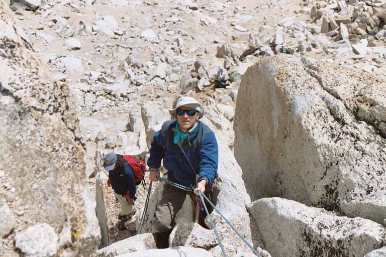
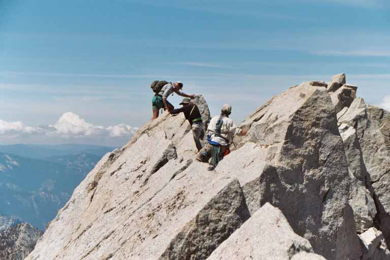
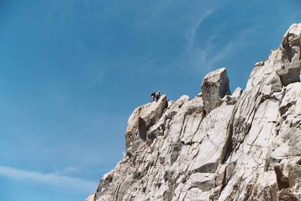
Tuesday, August 24th. After saying our goodbyes to Brian (he has to return home for work), we are again moving at 6:30 a.m. And after two days of climbing, we are all a little tired. In fact, by the time we reach 60 Lakes Col, 2 of our climbing compadres have decided to pass on climbing Mt. Gardiner and simply enjoy the day exploring the area. This leaves four of us for an attempt of Mt. Gardiner. Our plan for the climb is to go over 60 Lakes Col into Gardiner Basin and then head up the east chute/ridge to the final summit ridge. On our way up to 60 lakes Col, we are treated to a rare encounter with 7 Sierra Nevada Big Horn Sheep! Once up to the col, we work our way down through some large boulders to the lakes at the south end of Gardiner Basin. From here we survey the east chute and try to pick out a route that will avoid scree as much as possible. As we head up we find that most (but not all) of the loose stuff can be avoided by staying closer to the east ridge. We reach the top of the chute, and after some delicate class 3 climbing find ourselves on the south summit staring at the obvious crux of the climb a vertical traverse of several hundred feet to the actual summit.
While none of the climbing appears that difficult, the 700 ft.+ exposure on both sides of the ridge makes us all think carefully about continuing. Gerhard, R.J. and I head out onto the ridge and after no more than 20 minutes of exhilarating climbing are at the true summit. We bring the rope just in case, but it stays on my back. We carefully traverse back to the south summit and then all of us except R.J. retrace our route back to camp (He takes a detour and climbs Mt. Cotter on the way back).
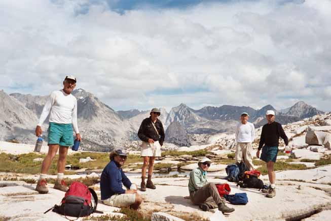
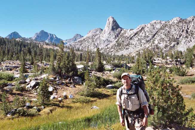
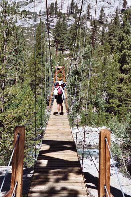
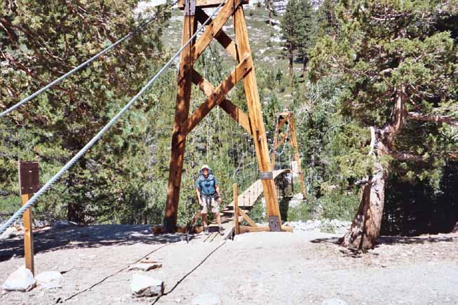
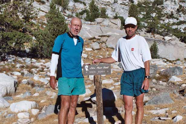
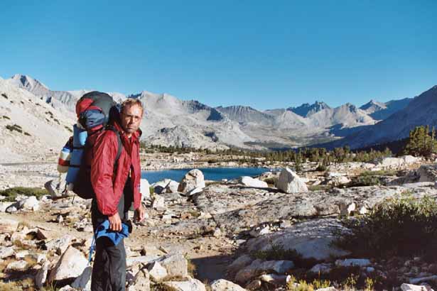
Wednesday August 25th. We all hike together to the junction of the 60 Lakes Basin trail with the John Muir Trail (JMT). Here we part company with Gerhard, Asher and Jack heading back to Onion Valley and R.J. heading out via Bubbs Creek. Joe and I turn onto the JMT and start heading north for the final 30 miles of our journey. Since we are well acclimated and our packs are much lighter, we make good time as we pass through this spectacular area even with plenty of stops for picture taking. By noon we have reached the suspension bridge (very cool) over Woods Creek and are starting to talk about getting out in 2 days instead of 3 as originally planned. As we chug up the trail towards higher terrain and Pinchot Pass, we talk more and more about seeing family and friends and enjoying a good meal (and beer..mmmmm). - I know we will be heading out on Thursday.
About an hour before we make camp, we run into an interesting character who claims to have been in the backcountry for 38 days. After chatting with him, we both realize that he is not your typical backcountry traveler (he also has this disturbing pinkish-red film that covers his teeth and lips). He reminds me of a cross between Cosmo Kramer and Hannibal Lechter. Joe thinks he may have escaped from a state mental hospital. Maybe we are tired and not thinking clearly, but we are both happy to see him go over the pass that evening.
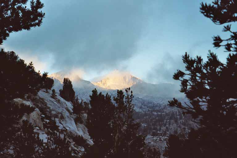
We make camp on one of the last lakes before Pinchot Pass at an elevation of 11,300 ft. It is a cold and windy camp and the wind blowing through Mt. Wynne sounds like a freight train.
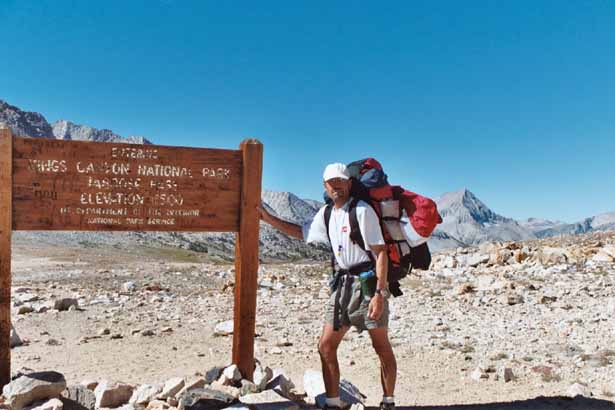
Thursday August 26th. We break camp using headlamps and are hiking towards Pinchot Pass at 6:00 a.m. It's a cool morning (below 30 F) and we are moving quickly to stay warm. In our haste, we almost miss the group of 6-7 big horn sheep that are grazing just south of the pass. The pass is colder and windier than our camp was so we keep moving until we reach a warm and sunny break spot a little north of Lake Marjorie. From here we make it easily to Taboose Pass and then start the punishing descent to the trailhead. Fortunately, the weather stays relatively cool (high 80's) all the way to the 5,400 ft trailhead that we reach before 2:00 p.m. After a quick shower, we pick up Joe's car at the Wilder House and head home.
My thanks to everyone, especially Joe who did a majority of the planning and organizing, for joining me on the weeklong adventure.
Original report can be found at: www.csun.edu/~rnorton/CMC%20Clarence%20King.html