Bear Box at Roaring River South (RR03)
Generated on 20 Oct 2025 - see revision history - please send updates to the webmaster
Detail Map of waypoint RR03
in Roaring River:
(scroll down for directions, waypoints, and area map)
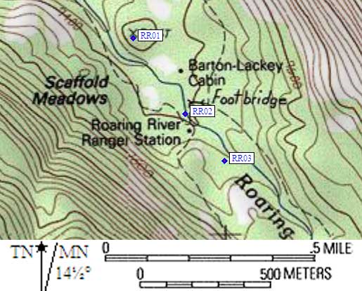
- RR03 is a huge custom box with sliding lid, at about 7500 feet,
in the GPS route ROARING RIVER.
- Directions from Steve Eckert, with GPS waypoint, Aug 2003:
One box at the end of a use trail south of the Roaring River Ranger Station
and 30 yards west of Roaring River itself. Perhaps 50 yards up-canyon from
the Ranger Station there is a junction marked 'Deadman Canyon' to the right,
with a use trail to the left. Follow the use trail to a vague but large
campsite with a coffin-style metal box (the lid slides aside and you set
your food into it). This box is about a tenth of a mile southeast from the
ranger station, and there is a significant hump between it and the Deadman
Canyon trail.
- Directions from Ranger Catie at the Roaring River Ranger Station, Aug 1999:
One box about a quarter of a mile upstream from the ranger station along the
Roaring River (not on the Deadman Pass trail).
- Directions from Mineral King ranger info sheet, dated 1991:
One big box 200 yards south of Lackey Cabin on the west side of the river.
- RR03 coordinates: (see GPX waypoint download links above)
  (lat,lon) = (36.7110500, -118.5843000) in decimal degrees, NAD83.
  (zone,east,north) = (11S, 358578.0, 4063791.0) in decimal meters, NAD27.
- Scroll down for a regional map of the entire Roaring River region.
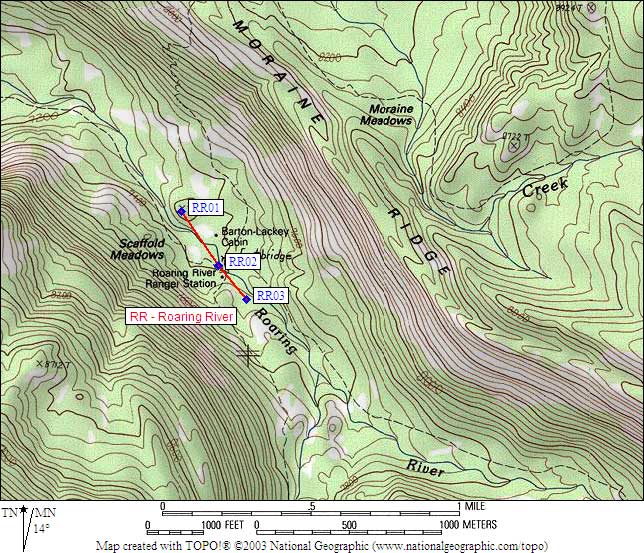
Map exported from TOPO! software, used with permission.
Useful Links: