Bear Box at Crescent Meadow (HS01)
Generated on 2 Aug 2022 - see revision history - please send updates to the webmaster
Detail Map of waypoint HS01
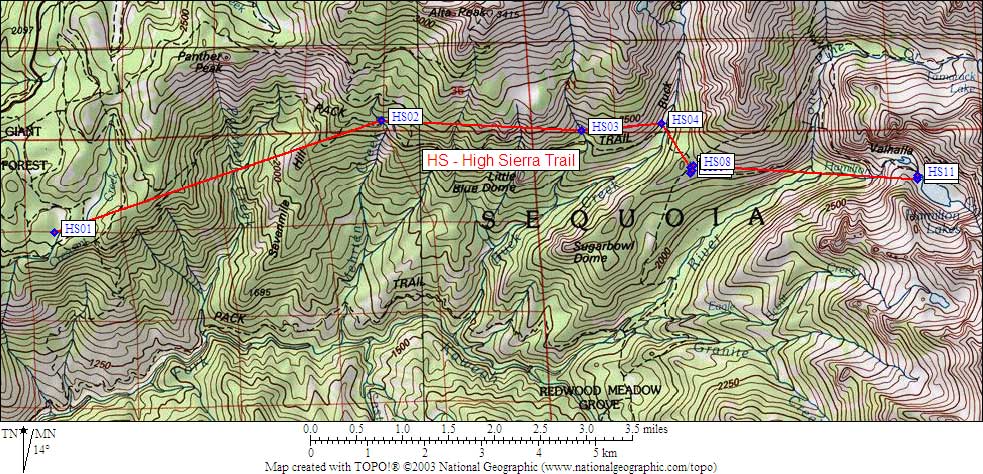
in High Sierra Trail:
(scroll down for directions, waypoints, and area map)
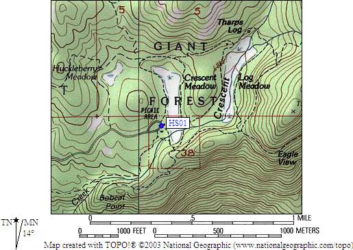
  (lat,lon) = (36.5548500, -118.7489100) in decimal degrees, NAD83.
  (zone,east,north) = (11S, 343557.0, 4046720.0) in decimal meters, NAD27.
Map exported from TOPO! software, used with permission.
Useful Links: