Bear Box at Upper Camp - may not be near here (HP04XX)
Generated on 2 Aug 2022 - see revision history - please send updates to the webmaster
WARNING!
"XX" in this waypoint name means the coordinates and elevation are approximate!
Please contact the webmaster if you can help verify this box.
Detail Map of waypoint HP04XX
in Hockett Plateau:
(scroll down for directions, waypoints, and area map)
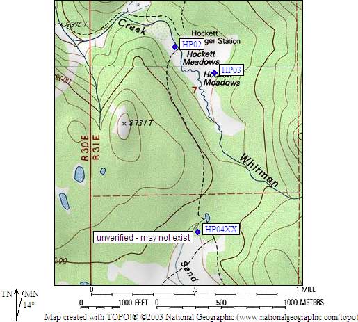
- HP04XX is an unknown type, may not exist, at about 8600 feet,
in the GPS route HOCKETT PLATEAU.
- Note: This box may not exist! Waypoint is a complete guess!
- Directions from Steve Eckert, June 2001:
No location description was available from rangers.
I was unable to locate any camp or bear box in this area,
so 'Upper Camp' may in fact be somewhere else.
- HP04XX coordinates: (see GPX waypoint download links above)
  APPROXIMATE  (lat,lon) = (36.3633100, -118.6546200) in decimal degrees, NAD83.
  APPROXIMATE  (zone,east,north) = (11S, 351634.0, 4025320.0) in decimal meters, NAD27.
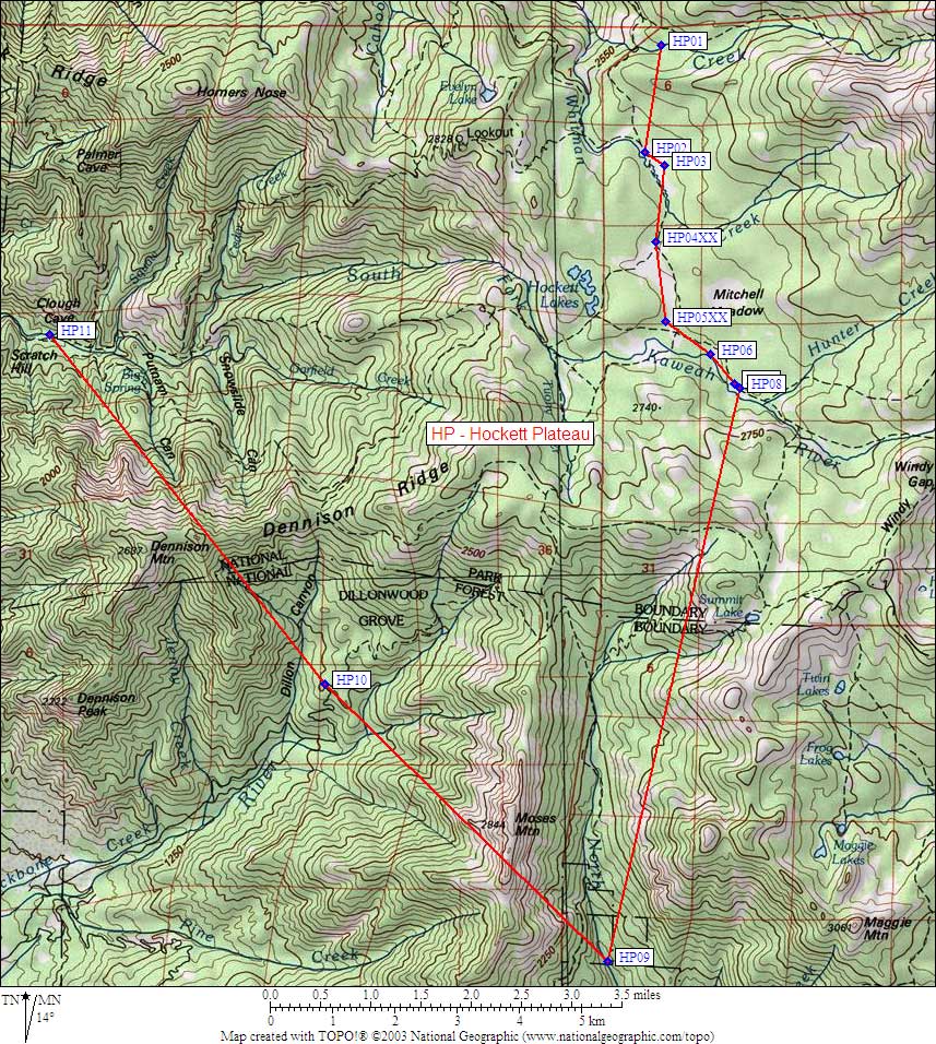
- Scroll down for a regional map of the entire Hockett Plateau region.
Map exported from TOPO! software, used with permission.
Useful Links: