Bear Box at Maxson Trailhead (CR02)
Generated on 2 Aug 2022 - see revision history - please send updates to the webmaster
Detail Map of waypoint CR02
in Courtright Reservoir:
(scroll down for directions, waypoints, and area map)
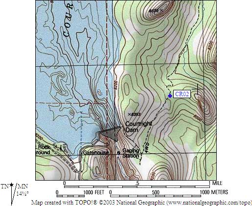
- CR02 is 8 standard boxes, at about 8100 feet,
in the GPS route COURTRIGHT RES.
- Directions from Steve Eckert, with GPS waypoint, August 2005:
Eight total boxes at the Maxson Trailhead on the
east side of Courtright Reservoir. Two sets of two
standard bear boxes in the car parking lot, downhill
from the outhouse. One standard box high in the
trailer parking lot and three more standard boxes
at the lower end of the trailer parking lot.
- CR02 coordinates: (see GPX waypoint download links above)
  (lat,lon) = (37.0825700, -118.9627600) in decimal degrees, NAD83.
  (zone,east,north) = (11S, 325621.0, 4105635.0) in decimal meters, NAD27.
- Scroll down for a regional map of the entire Courtright Reservoir region.
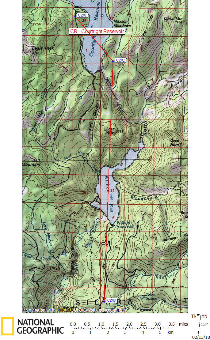
Map exported from TOPO! software, used with permission.
Useful Links: