Bear Box at West Horse Lot at Road's End (CG06)
Generated on 2 Aug 2022 - see revision history - please send updates to the webmaster
Detail Map of waypoint CG06
in Cedar Grove Area:
(scroll down for directions, waypoints, and area map)
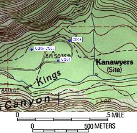
- CG06 is two large boxes, at about 5000 feet,
in the GPS route CEDAR GROVE.
- Directions from Steve Eckert, with GPS waypoint, July 2004:
Two large boxes on the uphill side of the secondary horse
trailer parking loop at Road's End. This is the loop accessed
from the main (east) horse trailer lot, and the loop which CANNOT be
directly accessed from the road.
- CG06 coordinates: (see GPX waypoint download links above)
  (lat,lon) = (36.7955700, -118.5869400) in decimal degrees, NAD83.
  (zone,east,north) = (11S, 358498.0, 4073172.0) in decimal meters, NAD27.
- Scroll down for a regional map of the entire Cedar Grove Area region.
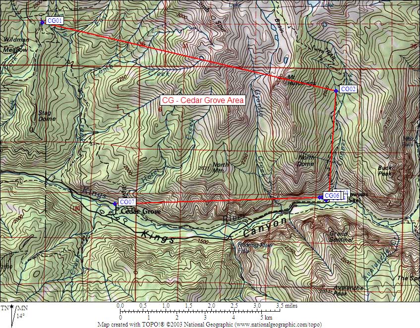
Map exported from TOPO! software, used with permission.
Useful Links: