Bear Box at Tent Meadow (CG02)
Generated on 2 Aug 2022 - see revision history - please send updates to the webmaster
Detail Map of waypoint CG02
in Cedar Grove Area:
(scroll down for directions, waypoints, and area map)
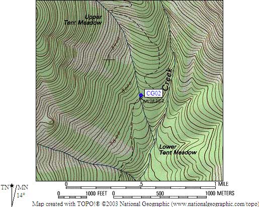
- CG02 is a standard box, at about 7840 feet,
in the GPS route CEDAR GROVE.
- Note: Lower Tent Mdw was not marked on the old 15' maps, and it
used to be unclear WHICH creek crossing the ranger meant.
This bear box is actually BETWEEN the upper and lower tent
meadows as marked on the modern 7.5' quads, at 7840'. Check
your map carefully: the 7800' contour line is easy to mis-read.
- Directions from Steve Eckert, with GPS waypoint, Aug 2005:
One box in the trees just upslope (north) from the trail
and just upcanyon (northeast) from the stream crossing.
There is a signpost, apparently marking the campsite or
the bear box, but as of 2005 the sign itself was missing
and the wood was deteriorated. There is no Upper Tent Meadow
campsite, this is the only campsite in the area.
The trail stays well west of Copper Creek in this area.
There are two side streams from the east face of Mt Hutchings
which drain into Copper Creek, and the box is where the higher
(northern) side stream crosses the trail. An altimeter is the
best way to find this box, since a good GPS signal is hard to
obtain in the narrow canyon with tall trees and there are seasonal
streams in addition to the two streams shown on the 7.5' quad.
- Directions from 'pctPacker', Dec 1999:
There is a standard bear box
chained to a tree in the Lower Tent Meadow campsites,
just west of the trail sign after crossing the creek at 7840'.
The rangers at Cedar Grove told us there was no box
when they issued our permit but there is definitely a
box there.
- Directions from Mineral King ranger info sheet, dated 1991:
One box below the creek crossing at Lower Tent Meadow.
- CG02 coordinates: (see GPX waypoint download links above)
  (lat,lon) = (36.8298300, -118.5803800) in decimal degrees, NAD83.
  (zone,east,north) = (11S, 359146.0, 4076962.0) in decimal meters, NAD27.
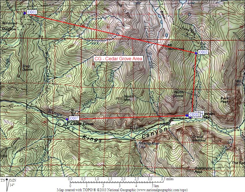
- Scroll down for a regional map of the entire Cedar Grove Area region.
Map exported from TOPO! software, used with permission.
Useful Links: