The forecast had been for a low-pressure system to arrive that afternoon and then depart by Sunday. But at northgate we had occasional drizzle and clouds, making for a fitful bivy. At 2am I awoke and asked Mark what he thought about the weather and our summit bid. We didn't think it likely, so we decided to sleep 2 more hours and just head up to the high camp and maybe practice glacier travel / crevasse rescue somewhere.
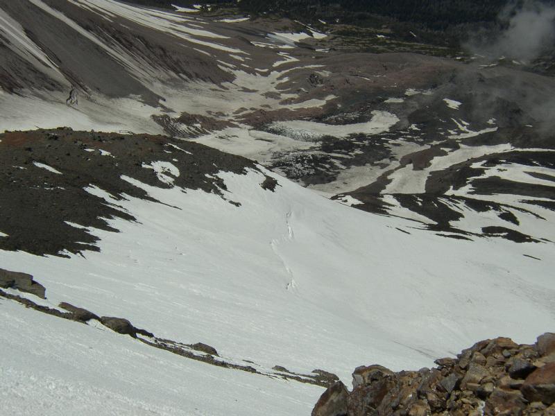
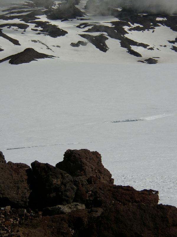
So at 5am we hiked up the trail to high camp, loaded down with rope, pickets, harnesses, etc. The weather was rather warm, probably because of the mostly-cloudy skies, and my glacier glasses fogged quickly in the humidity. Snowline was about 8500' with patches below, and we kicked steps where necessary in the soft snow, more proof that things were warm. Just as we passed the pinnacle on the right, another party was descending - they had climbed the right Hotlum Headwall ice gully route, and reported that it was pretty much still packed with snow, though a bit of ice on the rocks in the beginning.
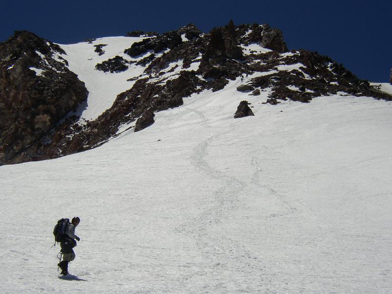
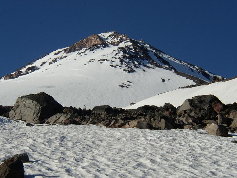
By the time we arrived at high camp around 9500' the skies were clearing, and the wind had picked up. We gaped at the awesome view of Mt. Shasta's north side. The weather looked good, though with last night's storm having blown through it would be pretty windy. I'd only descended the Hotlum-Bolam ridge route, and Mark had never been up this way before (though he had been on numerous south and eastside routes). We could see three climbers on the route. I said "hey, we can just go up to The Step (13000') and come back down, whaddya say ?" With that, we were off.
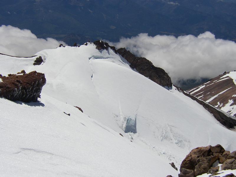
Heading up the snowfields from high camp the snow was low-angled and soft. Around 11000' we decided to don crampons and headed up the slope, angling right at first to avoid the crevasse nicknamed The Maneater, then left above it to a rest on some rocks around 12400', and then right again up to a plateau called The Step. Our relatively late start had meant we climbed on somewhat soft snow, sapping our strength.
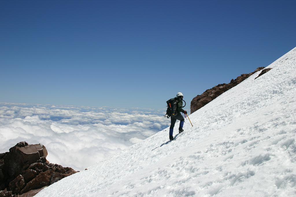
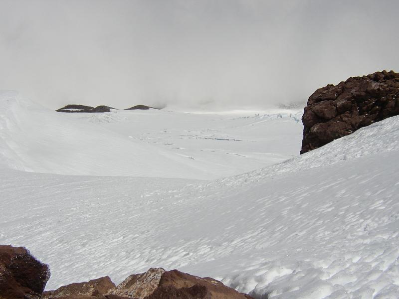
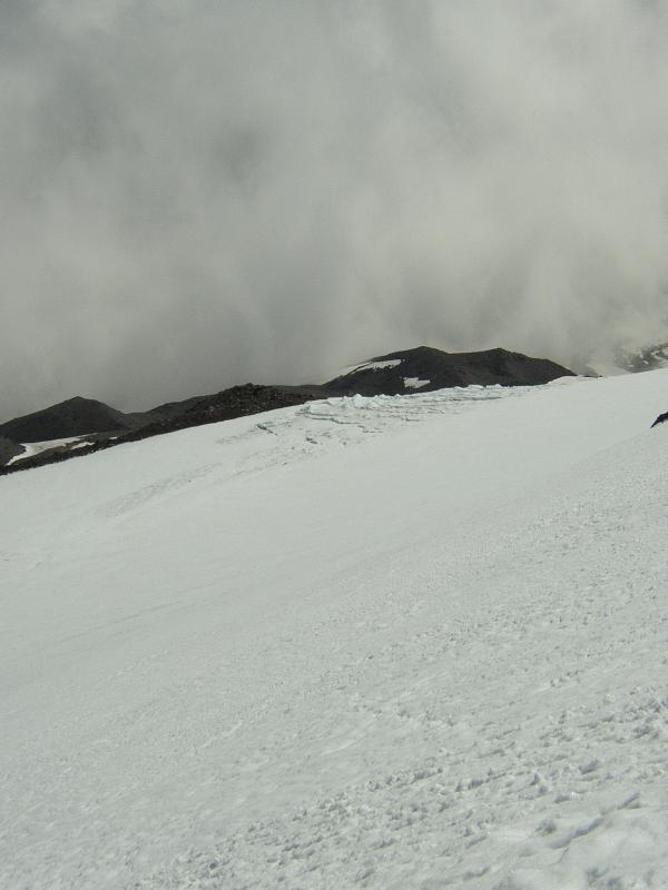
Just below The Step, the rocks had a covering of shiny rime ice, reflecting and refracting light in marvelous ways. We rested, took in the views, and then decided to go up and over. A layer of clouds hovered below, but it seemed that the constant but moderate winds blasting the summit were keeping them down around 11000'.
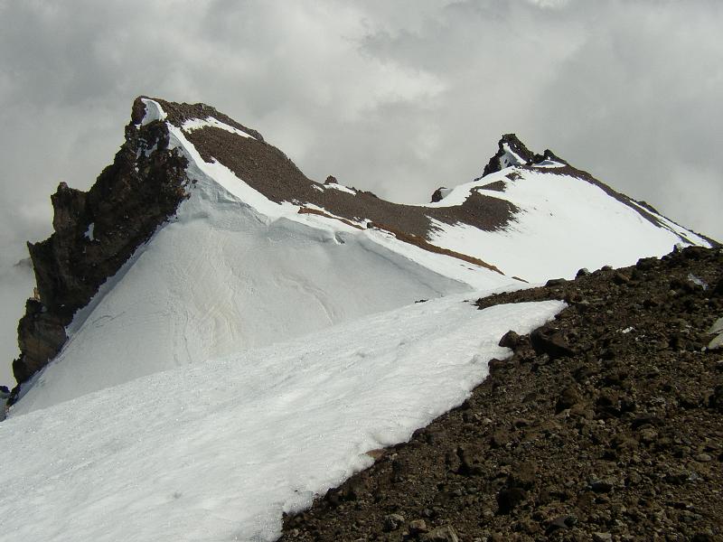
As we climbed towards the two prominent rock towers called The Rabbit Ears, the party we had seen climbing descended towards us - it was a Shasta Mountain Guides trip led by one of the guides on an alpine ice seminar I'd taken in late August '04. Cool.
We soon ascended the class 2 scramble / use trail that traversed up to the climber's right, rocks coated at times with rime and snow, then came to the summit plateau just beneath the summit pinnacle, at around 14000'. Munching down snacks we decided that we had seen the top of Shasta more times than we cared to, and then headed down towards Misery Hill, taking in breathtaking views of the upper Whitney glacier and Shastina.
Misery Hill, was, well, miserable - it was now around 2pm and the postholing was awful - knee and hip-depth. We attempted to glissade a bit, which was only slightly less unpleasant because of a rime crust.
After some mucking around, I decided to traverse over to Thumb Rock. This turned out to be a nearly fatal mistake - I punched through the moat over the Konwakiton glacier, and had to lever myself out using my axe and an ice tool I just happened to be carrying (lucky lucky). I think the Thumb Rock route is pretty much done for the season ...
The best route down seemed to be the easier Red Banks chute (climber's right), which was filled with deep, silky, soft snow for glissading. In fact, from there on down Avalanche Gulch was probably the most lovely glissade I've experienced this season.
From Helen Lake it was pretty much the usual slip-slide-plunge-step down to Horse Camp, and back on the trail to Bunny Flat (snowline around 7500'). 13 hours car-to-car.
The images are from my site http://rhysw.com/shasta20050710/ .